

Our Services
Satellite Data Processing Services (Large Area & Multi-Time Analysis)
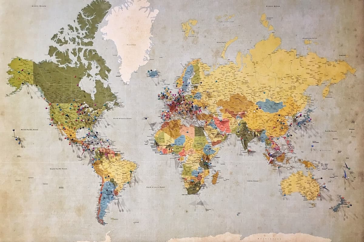
Large-area satellite imagery processing — LULC, change detection, NDVI, urban growth, and disaster analysis across India.
Overview
How we help your project
Survey-grade planning, capture, and delivery — with clear scope and timelines from day one.
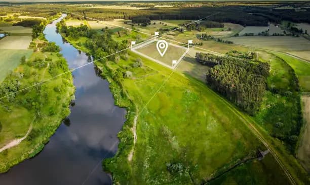
For extents beyond practical UAV coverage or when multi-date analysis is required, we procure and process commercial satellite imagery to analysis-ready standards.
Founded
2026
DGCA
Certified
Coverage
Pan India
Delivery
48 Hours
List of services
- Satellite Image Processing
- Land Use / Land Cover Mapping (LULC)
- Change Detection Analysis
- Environmental Monitoring
- Watershed & Resource Mapping
- Vegetation & NDVI Analysis
- Urban Expansion Analysis
- Disaster Impact Analysis
- Large Area Mapping
Typical use cases
- Regional land-use and masterplan baselines
- Environmental and watershed programs
- Mining lease and corridor screening
- Post-disaster damage and impact mapping
Our team delivers land use / land cover mapping, change detection, vegetation and NDVI layers, watershed and resource mapping, and urban expansion studies with clear metadata.
Satellite programs complement drone work: wide-area screening and monitoring between high-resolution aerial campaigns.
Typical turnaround from site handover to draft deliverables: 48 hours for standard scopes (project-dependent).
Sample outputs
What we deliver

Explore more
Related services
Quick answers