

Our Services
GIS & Data Processing Services
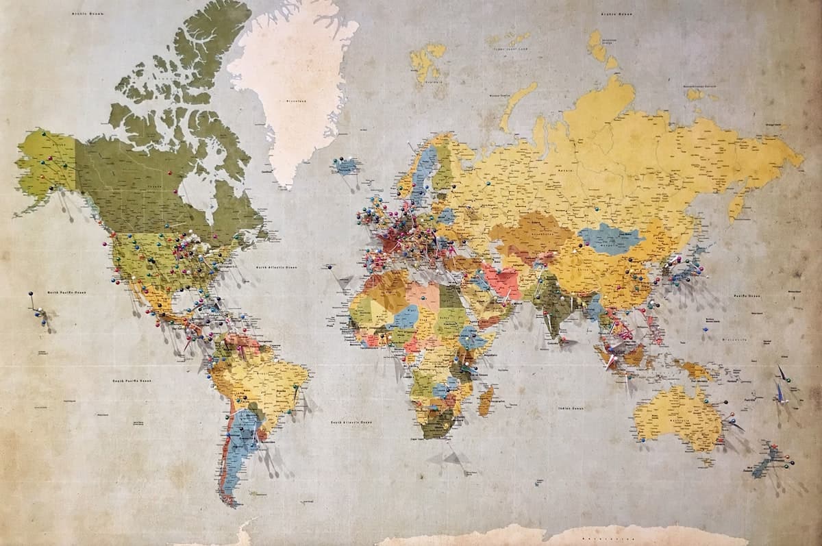
Spatial analysis, map production, GIS databases, CAD conversion, and orthomosaic processing from your data or ours.
Overview
How we help your project
Survey-grade planning, capture, and delivery — with clear scope and timelines from day one.
Our GIS and processing team turns aerial and survey inputs into decision-ready spatial products — not raw files that stall in your inbox.
Founded
2026
DGCA
Certified
Coverage
Pan India
Delivery
48 Hours
List of services
- Spatial Analysis
- Map Design & Reporting
- GIS Database Creation
- CAD Conversion
- Orthomosaic Processing
Typical use cases
- Outsourced photogrammetry and ortho production
- Municipal and enterprise GIS maintenance
- CAD/GIS integration for engineering firms
- Banking and economic spatial analysis
We support spatial analysis, themed map design, enterprise geodatabases, CAD conversion, and orthomosaic production with documented QA workflows.
Engagements include business and economic spatial analysis for banking and planning clients where location intelligence supports underwriting and policy.
Typical turnaround from site handover to draft deliverables: 48 hours for standard scopes (project-dependent).
Sample outputs
What we deliver


Explore more
Related services

Quick answers