Challenge
Delayed insight
By the time manual scouting finishes, stress has spread across blocks.


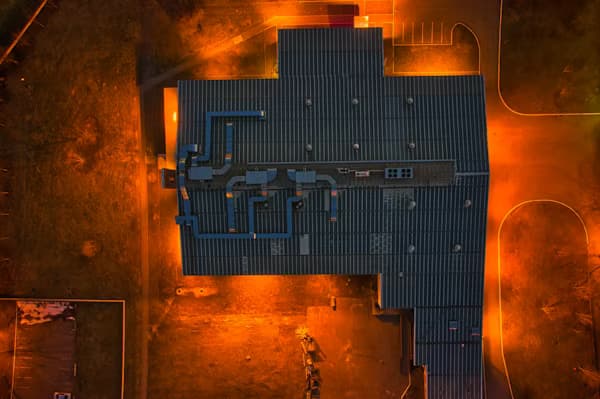
Multispectral and RGB aerial data for crop stress, drainage, and farm management across large holdings.
Scale
1,000+ ha
Sensors
RGB + MS
Outputs
Maps + reports
We deliver agriculture and environmental services including drone spraying support, crop health (NDVI) analysis, irrigation and plantation planning, soil and terrain mapping, and environmental monitoring — combining field flights with satellite and GIS processing where scale demands it.
Agriculture & Environmental Services
What holds teams back
Challenge
By the time manual scouting finishes, stress has spread across blocks.
Challenge
Drainage and elevation issues are hard to spot at eye level across hundreds of hectares.
Challenge
Input suppliers and insurers ask for documented before/after evidence.
How aerial intelligence closes the gap
What changes for you
Outcome
Stress maps direct ground teams to the right blocks first.
Outcome
Elevation models highlight ponding and flow paths for corrective work.
Outcome
Repeat flights build a season archive for agronomy and finance.
Capability links tailored to this sector — not a generic catalog.
Align flights with growth stages and weather.
RGB/multispectral passes at appropriate altitude.
Indices, zones, and anomaly highlights.
Maps and briefings for field teams.
Representative work types we deliver in this sector.

Share hectarage, crops, and decision dates — we’ll design a flight rhythm that matches your season.