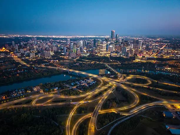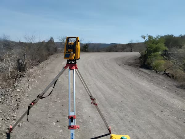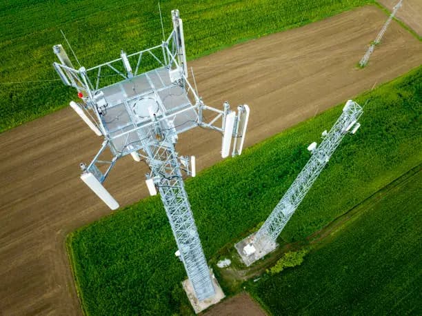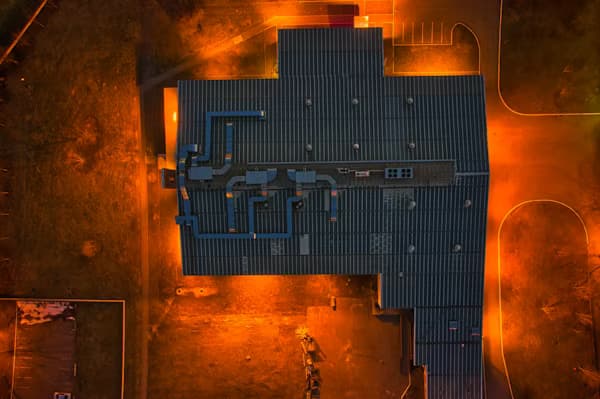
Aerial Photogrammetry
Leveraging high-resolution UAV imagery, we generate precise orthomosaics, digital elevation models, and 3D point clouds with centimetre-level accuracy. Our photogrammetric workflows are calibrated for diverse terrain — from urban infrastructure to remote agricultural land — delivering GIS-ready outputs that integrate seamlessly into your existing data pipelines.
View service