
Our Services
Drone Survey
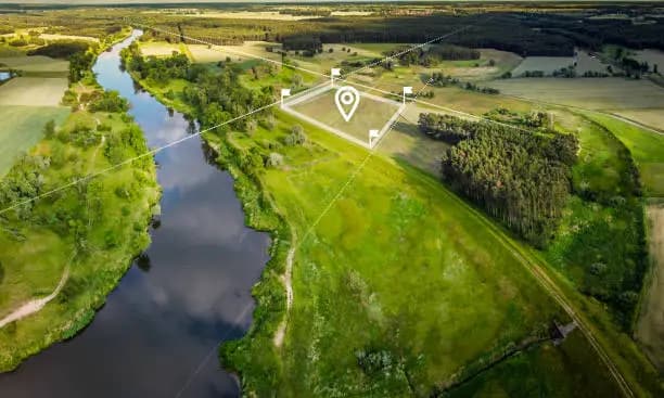
DGCA-compliant UAV mapping — orthomosaics, terrain models, contours, and 3D outputs for engineering and operations.
Overview
How we help your project
Survey-grade planning, capture, and delivery — with clear scope and timelines from day one.
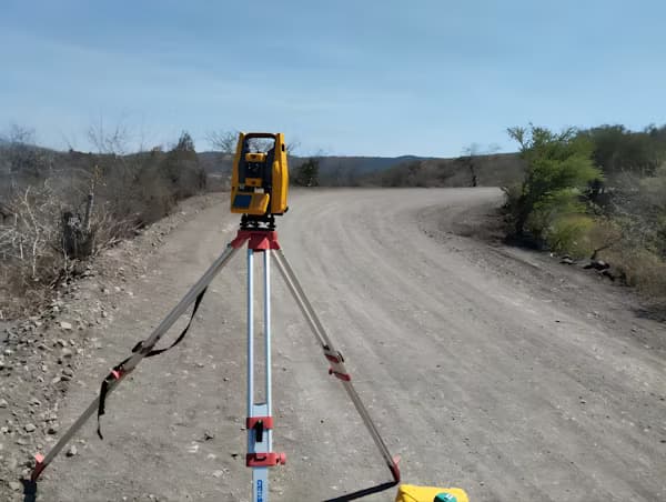
Our Drone Survey practice covers the full photogrammetry workflow: flight planning, capture, ground control integration, and processing into GIS- and CAD-ready products.
Founded
2026
DGCA
Certified
Coverage
Pan India
Delivery
48 Hours
List of services
- Orthomosaic Mapping
- Area & Distance Measurement
- Site Inspection
- Construction Progress Monitoring
- Agriculture Field Mapping
- Contour Mapping
- DEM/DTM Generation
- 3D Terrain Modeling
Typical use cases
- Active construction and earthwork monitoring
- Quarry and open-pit progress models
- Farm and plantation block surveys
- Pre-design site intelligence
From site inspection and construction progress to agriculture field mapping and DEM/DTM generation, each scope is scoped to the accuracy and revisit cadence your project requires.
Deliverables follow documented QA so engineers, contractors, and asset owners work from one current model of the site.
Typical turnaround from site handover to draft deliverables: 48 hours for standard scopes (project-dependent).
Sample outputs
What we deliver


Explore more
Related services
Quick answers