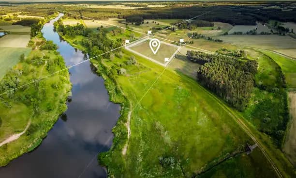
Hybrid Survey (Drone + DGPS High Accuracy Solutions)
Integrated drone and DGPS workflows for engineering-grade mapping, GCP networks, and CAD-ready corridor and layout surveys.
How we help your project
Survey-grade planning, capture, and delivery — with clear scope and timelines from day one.
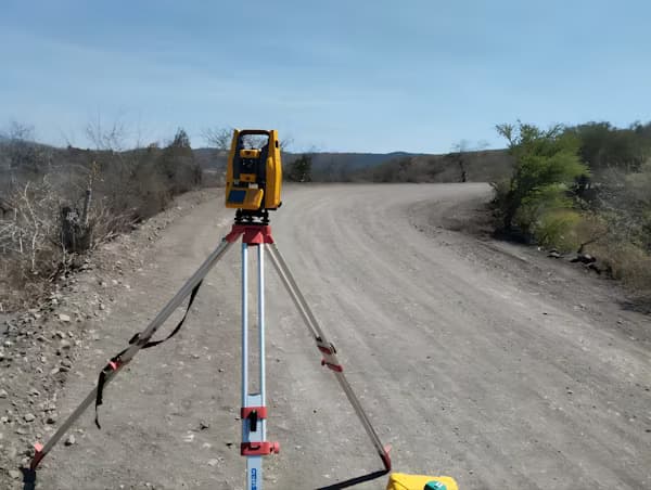
When centimetre-level reliability matters, we combine aerial capture with DGPS and total-station control in one coordinated program — not disconnected drone and ground jobs.
Founded
2026
DGCA
Certified
Coverage
Pan India
Delivery
48 Hours
List of services
- Drone + DGPS Integrated Survey
- Ground Control Point (GCP) Setup
- Engineering Grade Mapping
- High Accuracy Contour Survey
- CAD Ready Outputs
- Infrastructure Survey
- Road & Highway Corridor Mapping
- Layout & Land Development Survey
Typical use cases
- Highway and rail corridor baselines
- Residential and industrial layout surveys
- Infrastructure and utility alignments
- Integrated GCP for drone photogrammetry
Hybrid Survey is built for infrastructure, roads, highways, land development, and layouts where CAD-ready outputs and high-accuracy contours are contract requirements.
Ground control is documented for audit; aerial and ground data are adjusted to your specified datum and delivered in the formats your design team already uses.
What we deliver