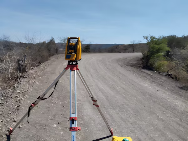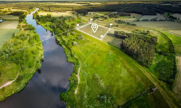
Aerial Photogrammetry
Precision aerial image capture converted into high-accuracy 2D maps and 3D models for engineering and surveying workflows.


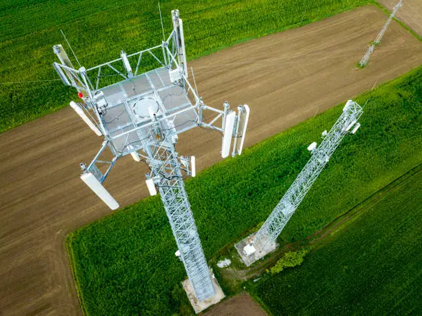
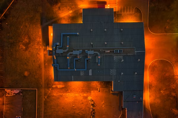
Professional drone surveying, LiDAR mapping, and GIS services across India
Share your project goals and we assess the site conditions, accuracy requirements and deliverable format.
We design the optimal survey route, flight altitude, overlap settings, and on-ground logistics.
Certified pilots execute precision drone operations and collect raw sensor data under strict QA protocols.
Processed, analysis-ready data — maps, models, reports — delivered to your platform on schedule.
We don't just collect data — we deliver intelligence
All our drone operations are fully DGCA compliant and certified — zero legal risk for your project.
From flight planning to final processed data — we handle everything in-house.
Fast data processing and delivery without compromising on accuracy or quality.
Deliverables in your preferred format — CAD, GIS, PDF reports, point clouds and more.
Here are the real answers to your real concerns
Still have questions? Talk to us directly →