Challenge
Encroachment risk
Structures and cultivation creep into ROW before ground patrols notice.


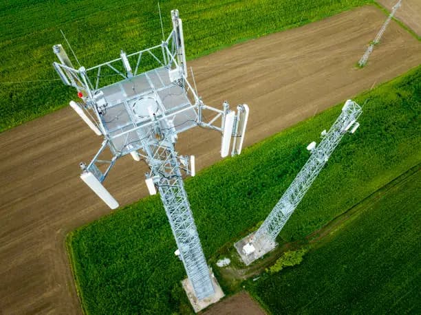
Aerial ROW surveys, encroachment mapping, and visual inspection support for pipelines and energy linear assets.
ROW mapping
Rapid
Thermal
Optional
Ops
HSE aligned
Pipeline operators need to see ROW condition, crossings, and exposure risks without walking every kilometre. We combine corridor mapping with targeted visual inspection where assets are visible from above.
Energy corridor & ROW programs
What holds teams back
Challenge
Structures and cultivation creep into ROW before ground patrols notice.
Challenge
Foot and vehicle patrols cover limited kilometres per day in difficult terrain.
Challenge
When issues arise, operators need recent georeferenced context fast.
How aerial intelligence closes the gap
What changes for you
Outcome
Current orthos and models along the corridor for GIS and operations.
Outcome
Anomalies highlighted for legal and maintenance action.
Outcome
Targeted re-flight packages after weather or third-party damage.
Capability links tailored to this sector — not a generic catalog.
Buffer width, KP system, and no-fly coordination.
RGB and optional thermal along segments.
Change vs prior flight, encroachment flags.
GIS layers and PDF briefs for operations.
Representative work types we deliver in this sector.

Share corridor GIS, patrol cadence, and risk priorities — we’ll design aerial coverage that complements ground operations.